|
|
|
||||||||||||||||||||||||||||||||||||||||||||||||||||||||||||||||||||||||||||||||||||||||||||||||||||||||||||||||||||||||||||||||||||||||||||||||||||||||||||||||||||||||||||||||||||||||||||||||||||||||||||||||||||||||||||||||||||||||||||||||||||||||||
 Sample #1
 Sample #2
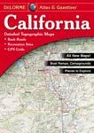
 Sample #1
 Sample #2
 Sample #3
 | $24.95 | 62-53481 | Alaska recreation atlas. |
| $29.95 | 62-54481 | Arizona recreation atlas. |
| $29.95 | 62-56481 | California recreation atlas. |
| $26.95 | 62-57481 | Colorado recreation atlas. |
| $26.95 | 62-64481 | Idaho recreation atlas. |
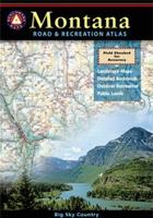
| $26.95 | 62-78481 | Montana recreation atlas. |
| $26.95 | 62-80482 | Nevada recreation atlas. |
| $26.95 | 62-83481 | New Mexico recreation atlas. |
| $29.95 | 62-89482 | Oregon recreation atlas. |
| $26.95 | 62-96482 | Utah recreation atlas. |
| $26.95 | 62-99482 | Washington recreation atlas. |
| $26.95 | 63-02482 | Wyoming recreation atlas. |
National Geographic State Recreation Atlas Series
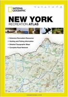
National Geographic's Recreation Atlases are the ideal resource for any recreation activity from hunting and fishing to camping, golfing, hiking, and more. These durable, easy-to-use atlases include up-to-date topographic maps, a comprehensive road network, informative recreation guides, and a detailed index.
 Sample #1
 Sample #2
 Sample #3
| $24.95 | 62-52485 | Alabama recreation atlas. |
| $24.95 | 62-62485 | Georgia recreation atlas. |
| $24.95 | 62-90485 | Pennsylvania recreation atlas. |