Recommended! Anguilla Travel Map. 1:25,000. Michal Kasprowski, 2007. This is the best street map of Anguilla on the market.
It covers all roads and streets in detail and is updated on a regular basis.
Indicates tourist destinations, churches, reefs, marinas, airports, gas stations, lighthouses, and other places of interest.
Shows streets of The Valley (capital of Anguilla) close up in a large inset map.
Includes complete index of road and street names.
Size is 98 x 67 cm (38 1/2 x 26 3/8 in.)
66-33604
1 sheet, folded
$16.99
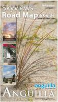
Anguilla Road Map & Guide. Approx. 1:42,000. Skyviews. 18th ed., 2010/2011. The map is a pocket tourist map, not a topographic or detailed physical map, but it is excellent at what it does. The map has an island road map on the front, with an inset of The Valley Taxi Zones 5 & 6, from the international airport to Crocus Bay. The reverse side is loaded with useful tourist information such as bike/car/taxi rental, restaurants, sites, hotels, and much more. The name 'Anguilla' means 'eel' and well describes its long, thin shape. The island is very flat with its highest point at Crocus Hill a little over 200 feet (61 metres). Rainfall levels are low and the resulting vegetation is mostly small trees and bush. A folded pocket edition and a laminated flat version are available; the laminated version is ideal as a souvenir placemat. Size is 24 x 18 inches.
Sample detail from the Anguilla road map. Image of the entire Anguilla road map.
66-33606
1 sheet, folded.
$6.99
66-33606L
1 sheet, laminated.
$10.99
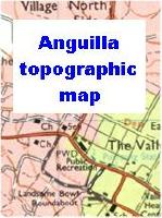
Anguilla Topographic Map. 1:25,000. 1997. DOS (343), Britain. The map shows the main island and includes Prickly Pear Cays, plus Dog and Scrub Islands as inset maps. Includes a 1 km UTM grid plus lat-long tick marks in the margin. 108 x 86 cm.
 Anguilla Maps
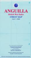 Recommended!


 Sample detail from the Anguilla road map.
 Image of the entire Anguilla road map.