|
|
NOTE: Georeferenced city street rasters are available for Port-au-Prince, Jacmel, and several other Haitian cities. Also available are georeferenced .tif files of 1:50,000 topographic maps of Haiti. Please contact Russell Guy or Rod Anderson for information.
Haiti Travel Maps
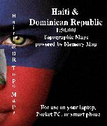
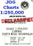
Haiti & Dominican Republic Topographic MapsWe stock the 1:50,000 and 1:250,000 and 1:500,000 topographic maps for Haiti and for Dominican Republic; please see the various links below.
|
|||||||||||||||||||||||||||||||||||||||||||||||||||||||||||||||||||||||||||||||||||||||||||||||||||||||||||||||||||||||||||||||||||||||||||||||||||||||||||||||||||||
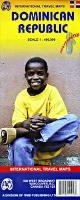
 Haiti Maps

 Sample of the Haiti map detail.
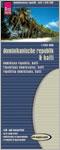 Waterproof!
 Sample of the Haiti map detail.
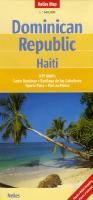

 In stock!
 Temporarily sold out
 Index map for Hispaneola.
 Sample from the Maputo map in the same series.
 Sample from the Entebbe map in the same series.
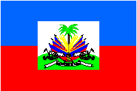
 Haiti Flags